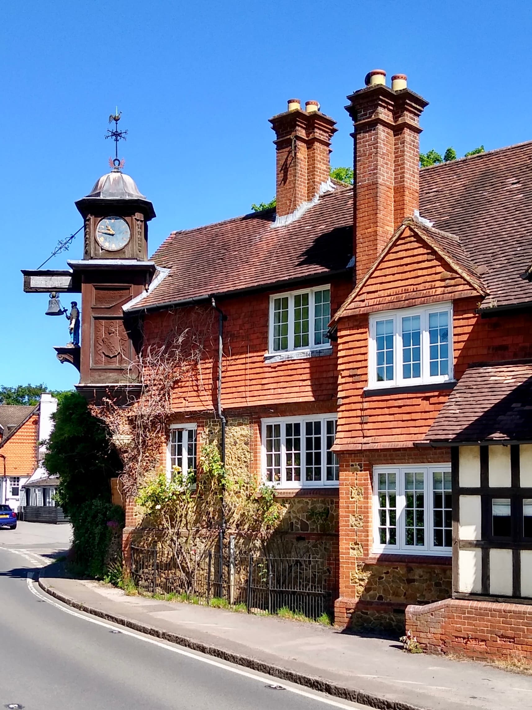
Drivers on the A25 between Dorking and Guildford pass under one of the more charming sights in the Surrey Hills without always registering it. At Abinger Hammer, a clock hangs out over the road, and a figure called Jack the Blacksmith strikes the bell on the hour. It is worth pulling over for.
The clock and the village
Abinger Hammer sits astride the A25 in the Tillingbourne valley, below Hackhurst Downs and about six miles west of Dorking, within the Surrey Hills National Landscape. The clock nods to the area's iron industry and was given in memory of the 1st Lord Farrer of Abinger Hall, who died in 1899. The date is a small matter of dispute: Historic England says the clock was added in 1908 by Lady Farrer, while the Surrey Hills trail flyer and Surrey in the Great War give 1909. Call it 1908 or 1909 and you are safe. The building is Grade II listed. The Surrey Hills trail flyer calls the figure Jack the Hammer, so you may meet both names.
The name Hammer comes from the old ironworking. In the 16th century the Tillingbourne was dammed to make a hammer pond, giving water power for the mill, and local tradition says the forge made guns used against the Spanish Armada. It is tradition rather than record, so enjoy it as a story. The forge was probably on the large millpond where the Kingfisher farm shop and the watercress beds stand today. The beds take advantage of the clear Tillingbourne water, and they make a pleasant thing to look at from the road.
Walking the valley
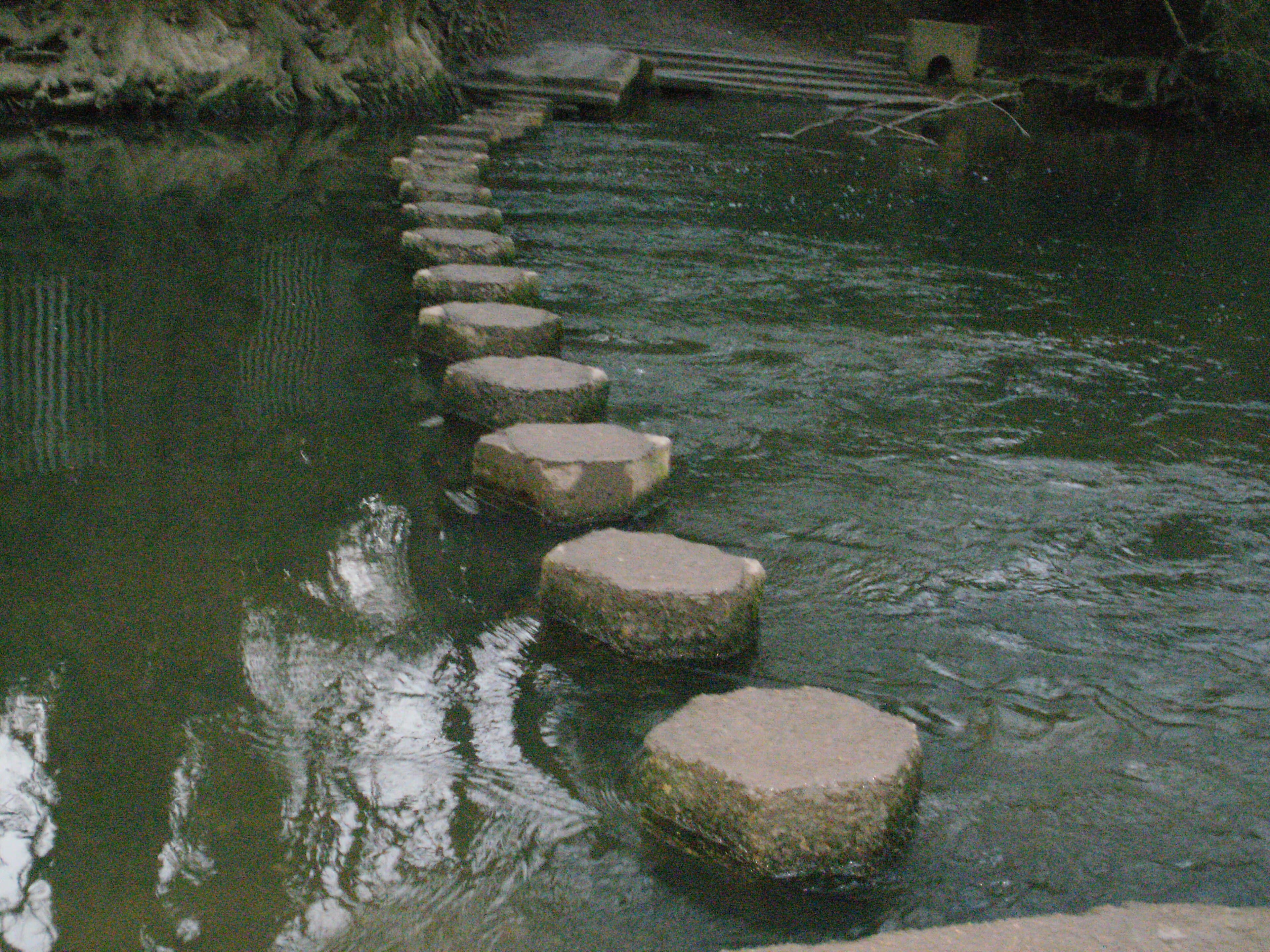
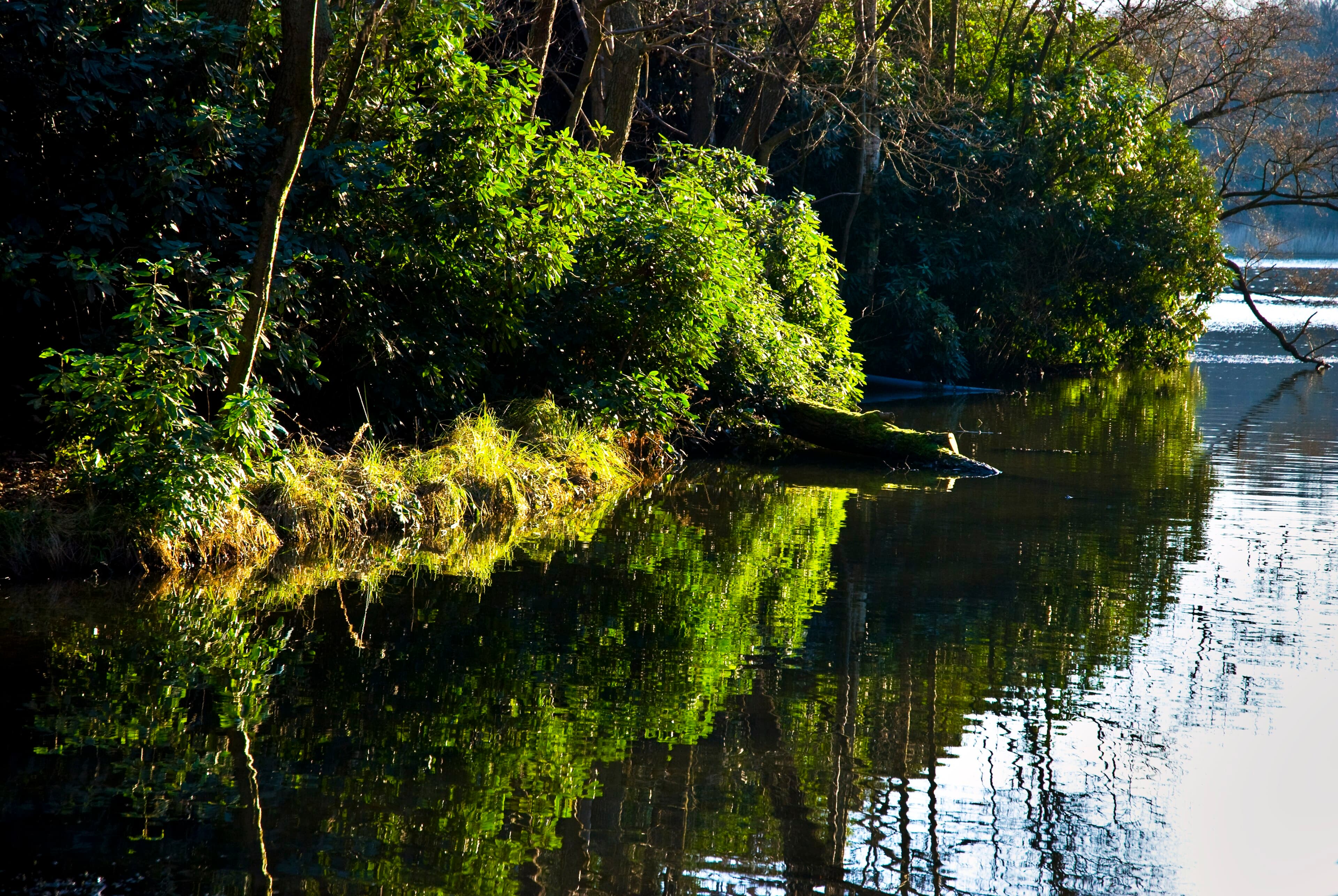
The River Tillingbourne rises near Leith Hill and runs through Friday Street, Abinger Hammer, Gomshall and Shere before joining the Wey at Shalford, near Guildford. That makes the valley a natural place for an easy walk.
Tillingbourne Tales: Abinger Trail is a circular heritage walk past the former mills and historic houses. The Surrey Hills flyer calls it easy, at 3.5km and about an hour and a half to two hours. The Surrey Hills web page gives two miles, so plan on roughly two to two and a half miles. Details are on the Surrey Hills page.
Shere and Gomshall circuit is a 3 mile (5km) easy-to-moderate route, described by Fancy Free Walks.
Surrey County Council's Friday Street hammer trail covers the hammer ponds and Paddington Mill.
Parking at Abinger Hammer is tight. There is a small village car park on the B2126 (Felday Road) next to the bridge, and other spaces are very limited. The trail flyer suggests Gomshall station if the village is full.
Two pubs to know
The Abinger Hatch, Abinger Lane, Abinger Common. This is not in Abinger Hammer itself but a short way up, opposite the church. CAMRA describes a 17th-century, wisteria-clad inn with the kitchen open all day, serving Brakspear house beer and Surrey Hills ales. It is dog friendly and has a spacious garden. The dining area is small, so it is sensible to book if you want a table. The pub is on 01306 730737, and the postcode is RH5 6HZ. It suits a walker finishing near the church, or a long lunch in the garden.
The Compasses Inn, 50 Station Road, Gomshall. Right on the A25, this is a pub dating from 1830 that stands on the banks of the Tillingbourne. It is a riverside free house with cask ales and wines, and a restaurant. Tripadvisor mentions pub food with specials, seasonal fish, sharing boards and a choice of four steaks. Its Facebook page mentions a play area for children, live music and Sunday roasts, which makes it a practical choice for a family outing. The phone number is 01483 202506, and the postcode is GU5 9LA. Gomshall station is nearby, so it suits a walk-and-train day too.
When to go
The valley works best on a dry day, when the walk, the watercress beds and a pub lunch fit together without a rush. Aim to be under the clock on the hour, and give yourself a little time at the pub. Check opening hours and book ahead before setting out, particularly for Sunday lunch.
For more on the clock and its trail, see the Surrey Hills guide to Jack the Hammer and the Historic England listing. The pubs are on CAMRA: the Abinger Hatch and the Compasses.