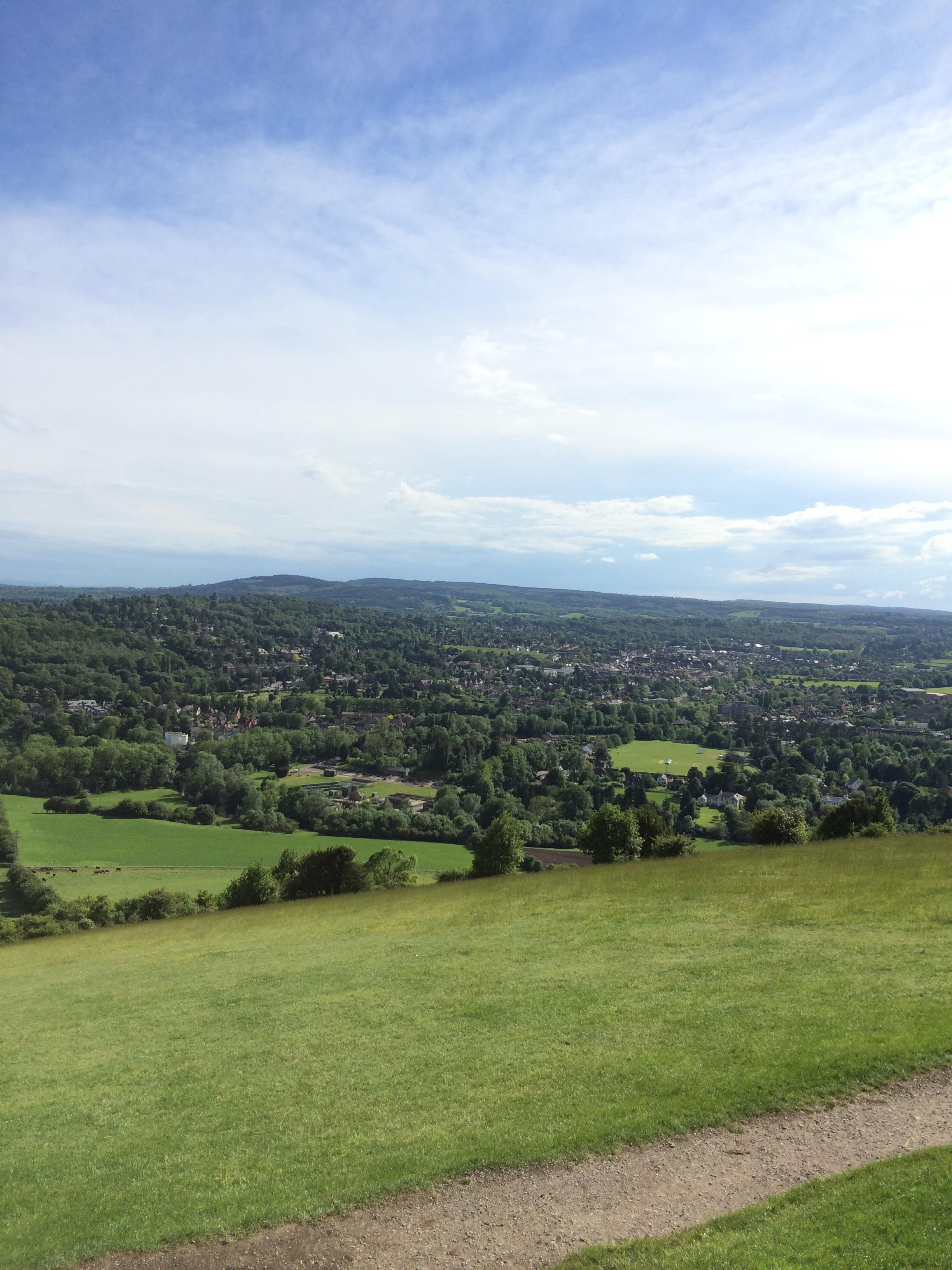
Surrey is the most urbanised shire in England, yet most of its land is green belt. Both things are true, and together they explain a good deal about the county's property market and its planning arguments.
How much of Surrey is green belt
The figure most often quoted is about 73%. Surrey Live, using government data from 2014, put it at 73%, or 121,810 hectares. Surrey County Council and the Surrey-i data hub give the same number, while the Surrey Lieutenancy says 70%. The sensible reading is roughly 70 to 73%, and the underlying data is old, so treat it as a guide rather than a measurement.
Surrey's green belt is part of the Metropolitan Green Belt, created around London. Nationally, the government estimates green belt covered 1,632,730 hectares at 31 March 2026, about 12.5% of England's land area.
It varies sharply by borough
These are older figures, so read them as a ranking rather than today's exact shares:
Tandridge: 94%, the highest proportion of any local authority in England, according to a House of Commons Library briefing.
Mole Valley: 76%.
Reigate and Banstead: 69%.
Spelthorne: 65%, which takes in Staines.
Woking: 63%.
Elmbridge: 58%.
Epsom and Ewell: 46%.
By area, Guildford has the most green belt of Surrey's 11 councils at 24,040 hectares, while Epsom and Ewell has the least at 1,560 hectares. Waverley's council leader said in 2025 that more than 80% of the borough is either green belt or part of the Surrey Hills National Landscape, which is a different measure again.
Roughly a quarter of the county is also designated as the Surrey Hills Area of Outstanding Natural Beauty, now branded a National Landscape. That is a separate protection from green belt, though the two overlap in places.
What it means for building
Green belt exists to check unrestricted sprawl, stop towns merging and protect the setting of historic towns. It does not stop all building, but it sets a high bar. Government figures showed that one in seven new homes in Surrey between 2015 and 2018 was built on green belt. In Tandridge the share was 40%, in Mole Valley 23%, and in Elmbridge, Reigate and Banstead, and Woking 6%.
Pressure has grown since. Surrey Live and the Guildford Dragon reported an annual housing target for the county of 10,981 homes, with councils' objections ignored, and Reigate and Banstead warned of severe implications for its green belt. The Alton Herald reported that eight of Surrey's 11 boroughs fall short of their targets, and that Waverley's annual figure would more than double, from about 710 to over 1,450 homes.
Grey belt
The planning term to know is grey belt. In the National Planning Policy Framework it means green belt land that is previously developed, or that does not strongly contribute to certain green belt purposes. It remains green belt. Being identified as grey belt is a possible route to planning permission, not confirmation that land can be built on, and it does not mean a council must release it.
CPRE Surrey said in January 2026 that it is facing more applications that rely on councils downgrading land to grey belt, alongside housing targets it considers excessive.
The August 2026 framework
Guildford Borough Council says a new framework was published on 17 August 2026 and amended the definition of grey belt. Guildford has a Green Belt Assessment 2026 to inform its new Local Plan, and it is required to identify grey belt.
Rebecca Paul, the Conservative MP for Reigate, says housing within reasonable walking distance of a qualifying station can now be treated as not inappropriate in the green belt, and that the land does not need to be grey belt. Walking distance is defined as around 800 metres, or about a ten-minute walk where the route, topography or barriers make that unrealistic. The Guildford Dragon reported that the default will be to approve suitable residential and mixed-use applications near well-connected stations, subject to minimum density requirements, with councils keeping the final say, including on whether a station qualifies. Paul has described the changes as a major shift in favour of developers.
Live local examples
Two 2026 cases show the range. Surrey Live reported Crest Nicholson's plan for up to 1,000 homes on green belt west of Salfords, in Reigate and Banstead, which would nearly triple a village of about 3,000 people. Another version of the report gives a higher figure, so check the current numbers before relying on either. Closer to the other end of the scale, 42 affordable homes off Longsdon Way in Caterham drew 345 objections, and a government inspector approved them on appeal on 16 July 2026 after the council missed its decision deadline.
What it means if you are buying
Green belt next door is not permanent protection. Local plans decide which sites are released, so read your borough's local plan and green belt assessment. Guildford's is a useful example of what these look like.
Be cautious about development potential. A seller's claim that land might be grey belt is a possibility, not a permission.
Look at the station. Under the August 2026 framework, land near qualifying stations may be easier to develop, so buyers near smaller stations in places such as Reigate and Banstead could see new schemes nearby.
Ask a planning professional about extensions and outbuildings, which have their own rules in green belt.
Surrey Live keeps a tracker of green belt developments across the county. For the national picture, see the government's green belt statistics, and for a worked local example, Guildford's Green Belt Assessment.