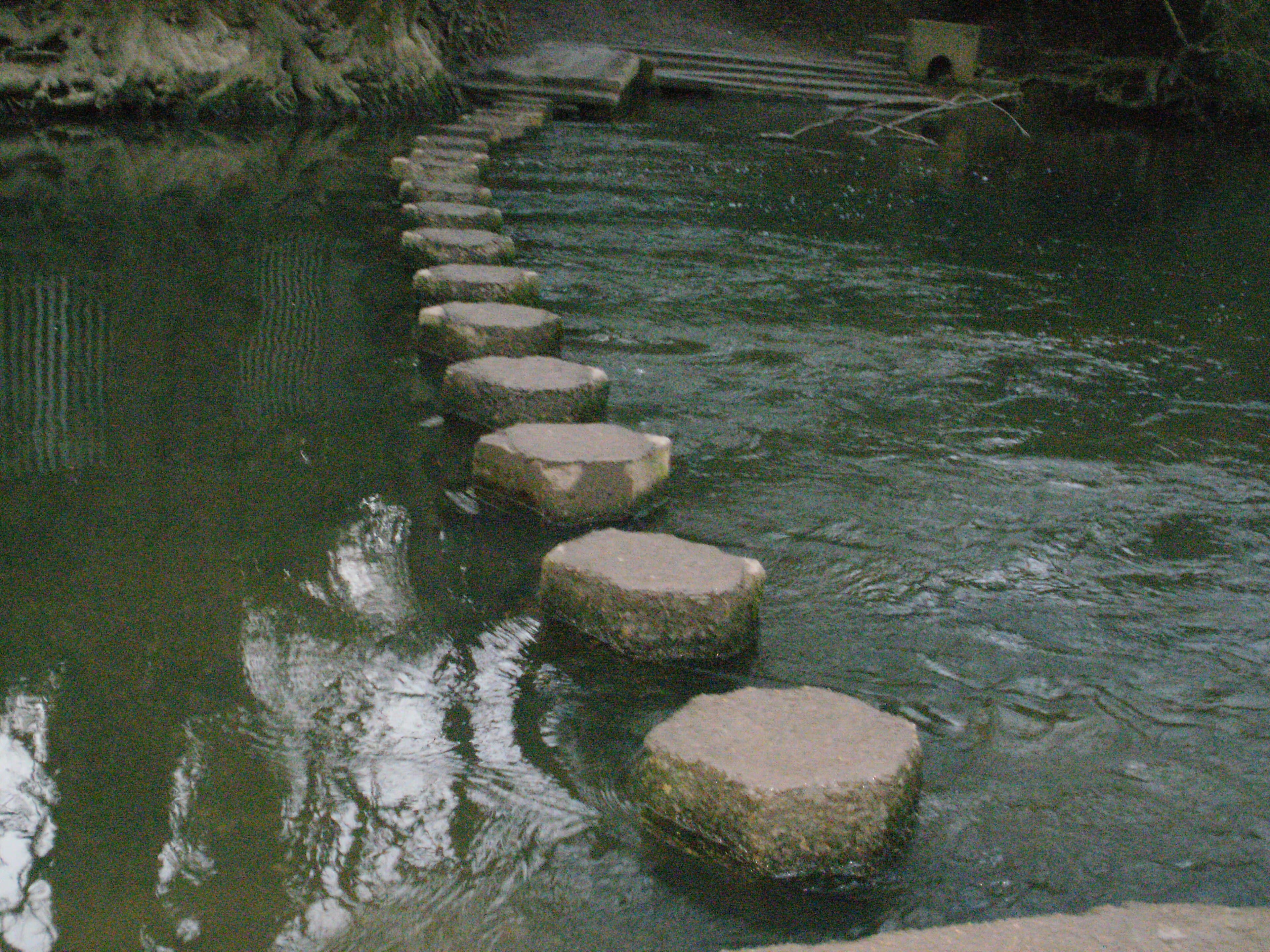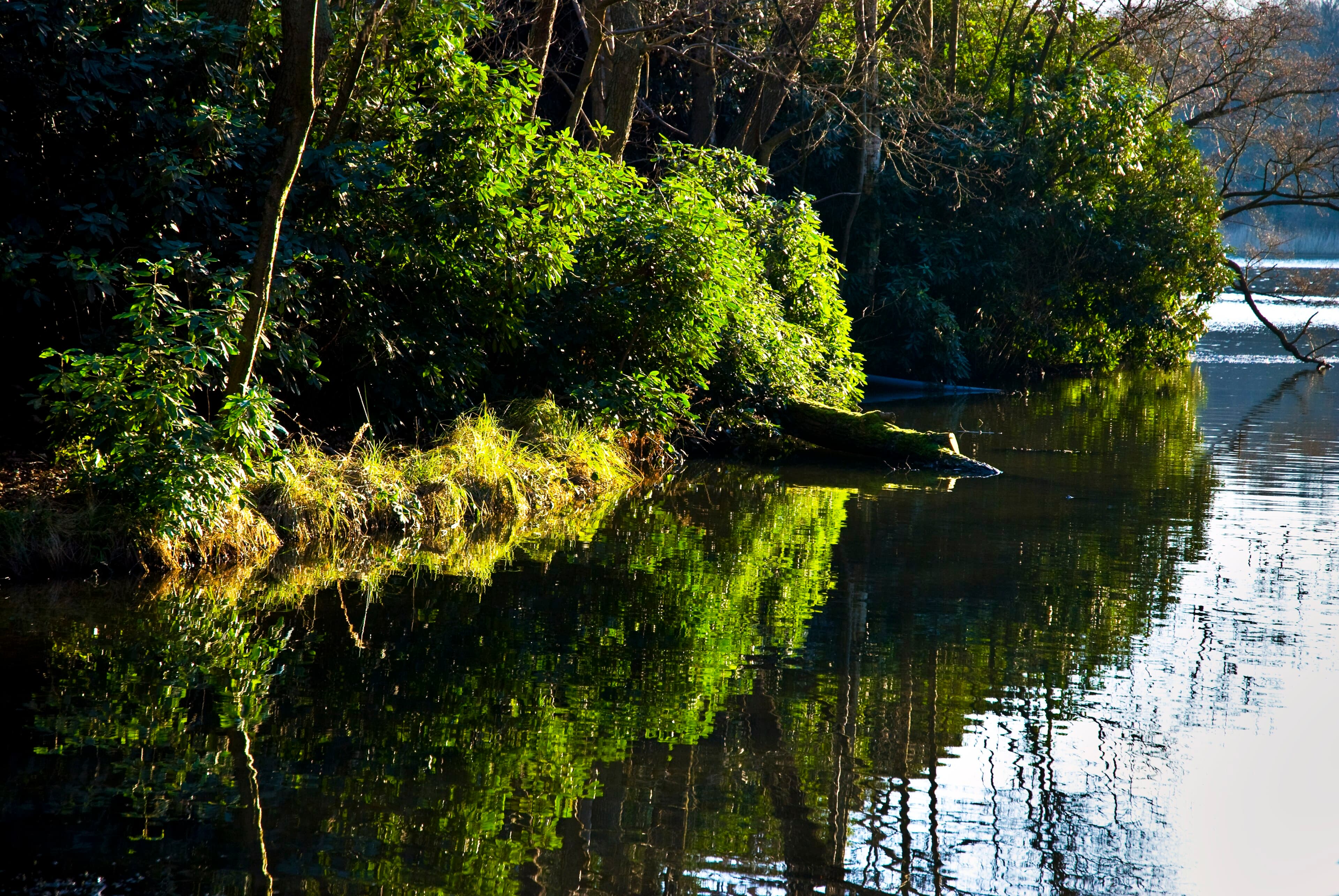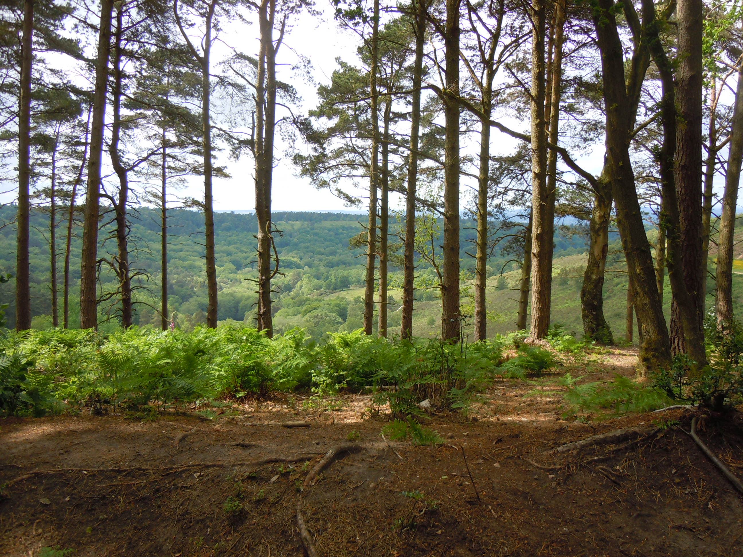
The Devil's Punch Bowl is a large natural amphitheatre of heathland east of Hindhead village, and one of the best-known walks in the Surrey Hills National Landscape. The wider site, Hindhead Commons and the Devil's Punch Bowl, is National Trust-owned, covers 282 hectares and is a Site of Special Scientific Interest. It suits anyone who wants a proper outing with a view at the end of it, and a cake afterwards.
The tunnel that quietened the valley
For decades the A3 cut through Hindhead and curved around the rim of the bowl. By the early 2000s this was the last single-carriageway stretch of the London to Portsmouth road, and it was notorious for congestion. The Hindhead Tunnel opened on 29 July 2011, carrying the road beneath the Punch Bowl. At 1,830 metres (1.14 miles) it is the longest non-estuarial road tunnel in the UK, part of a four-mile dual carriageway. It is owned and operated by National Highways.
The difference above ground is the point. Visit South East England says the tunnel made the area a major attraction for walkers, who can now enjoy the peace of the heath and woodland. Get Surrey reports that the old road section has grown over and is now part of a footpath on the National Trust heathland. The 1826 turnpike route of the former A3 was removed so that it could revert to heathland, and the car park sits on the old route, much quieter than it was.
Choosing your walk
All the main routes start from the National Trust car park on London Road, Hindhead (postcode GU26 6AB). Pick by how much time and energy you have.
Sailor's Stroll: about a mile and gentle, up to the summit of Gibbet Hill via the Sailor's Stone. You can return the same way or carry on along the Hidden Hindhead trail.
Hidden Hindhead trail: well signposted and described by the National Trust as not too demanding. It takes in Gibbet Hill and the Temple of the Four Winds.
Roam 639: 6.39 miles (10.22 km) in nine stages, marked with white Roam 639 discs. The National Trust calls it great but demanding, with a challenging climb up the face of the Punch Bowl. It covers the base of the bowl, Gibbet Hill and the Temple of the Four Winds.
If you want one circular to plan around, the Roam 639 is the fullest version. The Sailor's Stroll is the one for children, a short afternoon or a lazy Sunday. The paths can be steep, muddy and slippery after wet weather, so wear proper footwear (the Ramblers make the same point).
Gibbet Hill and the view
At 272 metres (892 feet), Gibbet Hill is the second-highest point in Surrey, after Leith Hill. It is the apex of the scarp around the Punch Bowl. Looking north, you take in the bowl itself, Thursley, Hankley Common and the Hog's Back towards Godalming and Guildford. To the east lies the Sussex Weald, and to the south the Haslemere and Blackdown hills and parts of the South Downs. The National Trust says that in fine weather you can pick out the arch at Wembley Stadium and the towers of Canary Wharf.
The Celtic cross on the summit marks where three men were hanged for murdering a sailor on the Old Portsmouth Road. The Sailor's Stone lower down records the same story: in 1786 a sailor walking from London to Portsmouth was killed by three men, and his identity is still unknown. Along the way you pass an old milestone reading "London 39 miles". The Temple of the Four Winds, a historic landmark, lies east of Gibbet Hill.
The café and practicalities
The Punch Bowl Café is a short, step-free, level walk from the car park. The National Trust lists it as open daily from 9.30am to 4pm, serving hot drinks, lunches and cakes and bakes, with takeaway only in the last 30 minutes. It has been recently refurbished, and there is a second-hand book shelf at the back, with proceeds going to conservation. Toilets are available when the café is open. Hours can change with the season, so check the National Trust page before you set off.
Parking is free for National Trust members and Blue Badge holders, and others pay. There are more than ten Blue Badge bays, the nearest 50 metres from the café. For anyone who cannot manage the hills, a 300 metre easy-access circular route runs from the car park to a sandstone viewing platform, and maps and mountain trikes are available.
For a much longer day, the Ramblers list a 17 km circular from Haslemere station that crosses Hindhead Common and the Punch Bowl and returns along the Greensand Way.
More detail on routes and access is on the National Trust page for the site, with the full Roam 639 route and the café details. The story of the road is told in Get Surrey's piece on the A3 tunnel.