The Surrey Hills National Landscape is the protected countryside that runs across the middle of the county, from Farnham in the west to Oxted in the east. It is one of the first Areas of Outstanding Natural Beauty in the country, designated in 1958, and it covers 163 square miles, roughly a quarter of the land area of Surrey (Surrey Hills).
What the designation is
The name changed on Wednesday 22 November 2023, when every Area of Outstanding Natural Beauty in England and Wales became a National Landscape. The change is branding only. Board chair Kathy Atkinson said the legal status as an AONB is unchanged and that it carries the same protections in law as a National Park (Surrey Hills).
The prime purpose is to conserve and enhance natural and scenic beauty. It does not freeze the landscape: development can still happen, and local planning authorities have a fundamental role in protecting what makes the place special, according to a Natural England report quoted in the Epsom & Ewell Times (Epsom & Ewell Times). Decisions are guided by a Management Plan, and the current one was adopted by the local authorities in autumn 2025.
Why it matters
The landscape is largely the North Downs and the Greensand Ridge. The Downs ridge rises near Guildford as the narrow Hogs Back and runs towards the Kent border, a chalk landscape of hills and beech-wooded combes, with the greensand ridge parallel to the south. The mosaic includes chalk grassland, heathland and woodland, and Surrey is the most wooded county in England (National Landscapes).
Leith Hill, near Coldharbour, is the highest point at 294 metres (965 feet).
Box Hill, Devil's Punch Bowl and Newlands Corner are the best known beauty spots.
The North Downs Way National Trail runs through it.
The National Trust owns and manages parts of it, including Ranmore Common, Leith Hill and Box Hill.
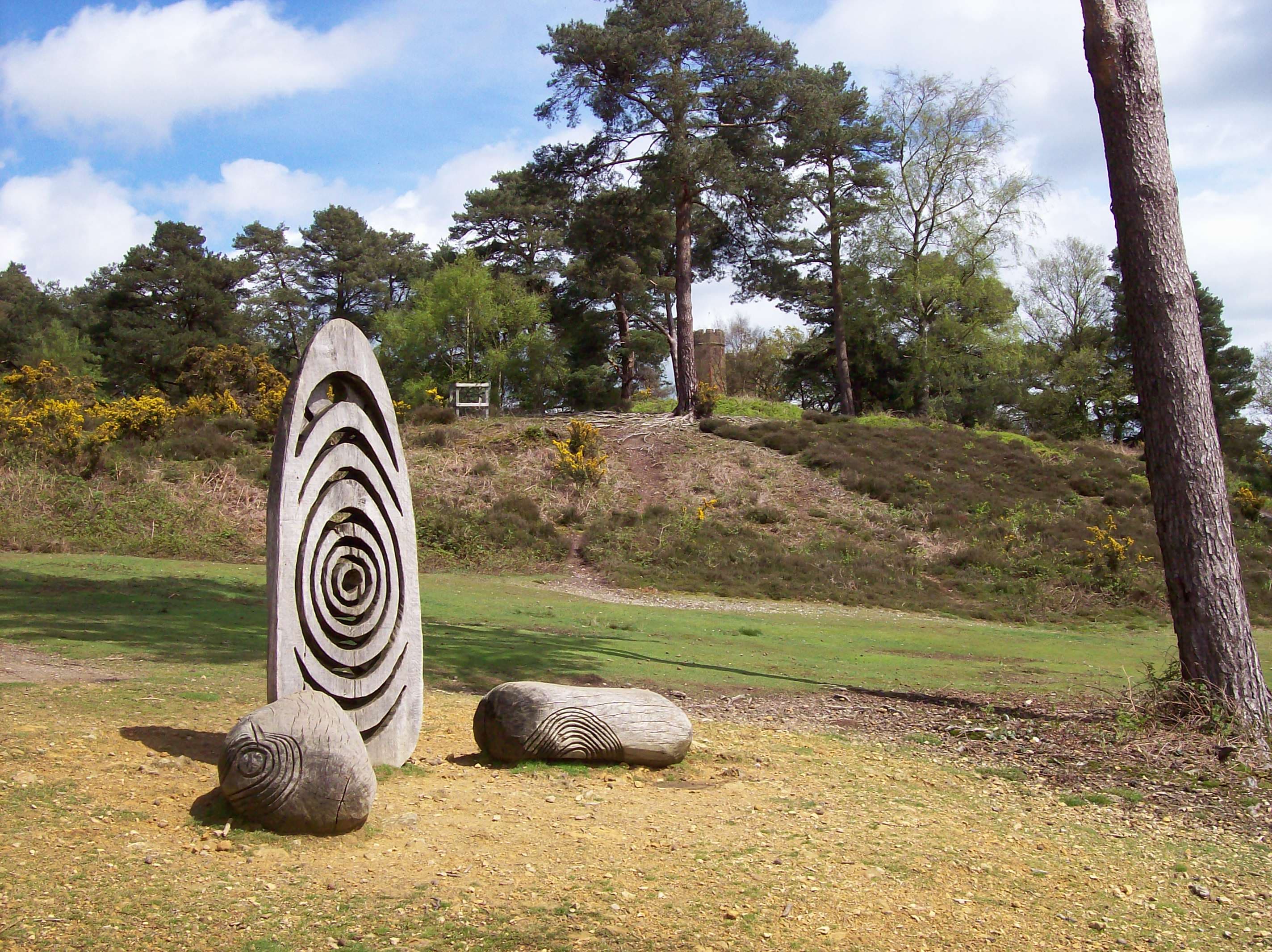
It sits in the London Metropolitan Green Belt, with about 1.5 million people living within 10 kilometres, which explains both its popularity and the pressure on it. The Management Plan singles out dog disturbance as probably the most significant recreational impact on many priority species. Twelve boundary markers carved by the sculptor Walter Bailey help mark out the area.
The boundary
The current area spans five local authorities: Waverley, Guildford, Mole Valley, Reigate and Banstead, and Tandridge. In Tandridge it covers much of the north of the district. Reigate Hill, Colley Hill and Gatton Park are already inside it. The boundary has not been reviewed since the 1958 designation.
The proposed extension
Natural England began a review in 2022, with public consultation in spring 2023. It launched the formal notice period on 21 November 2025, and that closed on 14 January 2026 (Surrey Hills). The draft Order covers about 129 square kilometres across Surrey, Hampshire and Greater London, a 30.5 per cent increase. It would be the first expansion since 1958. The extension is proposed rather than confirmed.
The areas named in coverage include the Wey Valley at Farnham, the Hog's Back, Hatchlands and East Clandon, Cranleigh Waters, Headley Hills, Betchworth Hills and River Mole, Chipstead Valleys, Happy Valley, Caterham Woods, Woldingham Valleys, Limpsfield and Godstone Hills. Reports differ on how many separate areas there are, so treat any single number with caution (Surrey Live).
Villages in the Surrey Hills
There is no single official list of villages, and the boundary map on the Surrey Hills website is the place to check a specific address. These are the ones most often named.
Peaslake, just south of Shere and about five miles outside Guildford, is known for woodland walks and mountain biking. It has a village store and the Hurtwood Inn.
Holmbury St Mary, between Guildford and Dorking, has a church, green, duck pond and village hall, with The Royal Oak overlooking the green. Holmbury Hill above it is the site of an Iron Age hillfort.
Abinger Hammer, in the Vale of Holmesdale between Dorking and Guildford, sits on the River Tillingbourne and has the Abinger Hatch pub.
Shere, with roots in the Domesday Book, is close to Newlands Corner and the Silent Pool, and claims the filming of The Holiday.
Albury is one of the nearest villages to Guildford.
Shamley Green, Wonersh, Hascombe, Abinger and Coldharbour are also named as Surrey Hills villages (Savills).
Who it suits
For anyone weighing up a move, the designation is part of the appeal and part of the constraint: protected views and woodland, with planning policy designed to keep them. For visitors, it is a day out with good rail links from London, and a base for walkers and riders in Guildford, Dorking, Farnham and Haslemere.